|
|
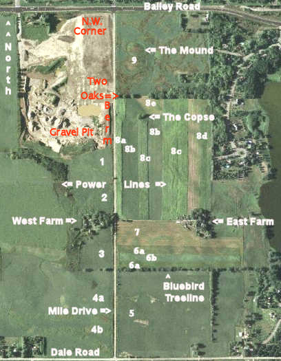
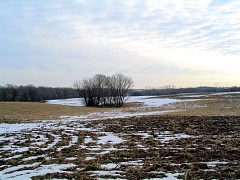
I am going to walk out across Field #8 toward The Copse. There is no snow cover
to speak of.
|
|
|
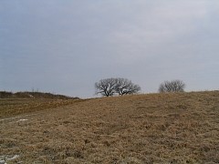
Looking to the left over this snowless-in-February hillock is Two Oaks. The road is a far left-center.
|
|
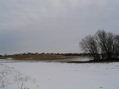
A little farther toward The Copse and again looking left one sees creeping suburbia, which will
with certainty one day swallow the area I am walking in.
|
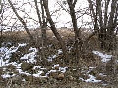
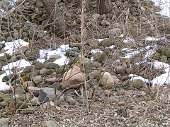
The farmer uses the copse to throw rocks he encounters while farming. This seems to be a universal
practice in farm country.
|
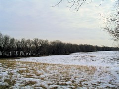
The line of trees that extends out from Two Oaks.
|
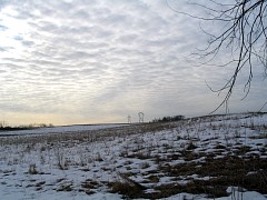
Looking past the Copse underneath a high winter sky.
|
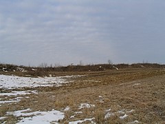
Now it's out of Field #8 to the road, which you can barely see running along the raised
berm in the middle of the picture.
|
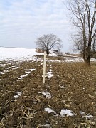
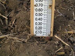
Across from Bluebird Treeline is this measurement post. The Watershed District has
set it up to measure standing water if the fields flood in the spring and cover the road. I'll keep an eye on it ... In 2007 this portion of the road became
covered with water. All the fields around this spot descend into a bowl which the road runs
through - when the
snow is melting but the ground is still frozen the newly melted snow has no place to run off
and collects here, covering the road.
|