|
|
Mile Drive is the name of gravel road I walk on almost every day. Reflective of its name,
it's one mile long.
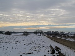
This view is about a quarter of the way down the road, heading south. I am near the edge
of field #9. The two oak trees
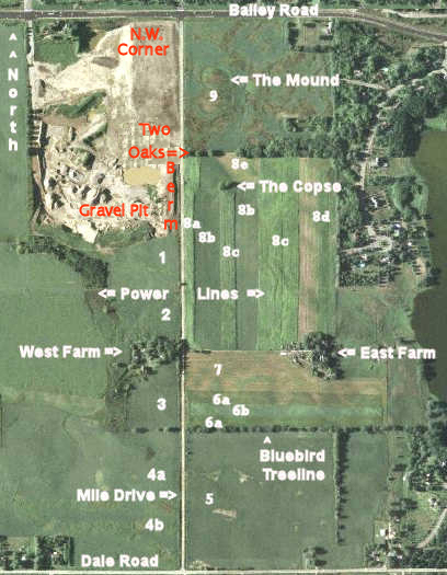
just to the left of the road are identified in the satellite map below as Two Oaks. It's been
a historically mild winter here in Minnesota. Just past Two Oaks you can see a parked
pickup truck. People with dogs will infrequently park along the road and exercise them.
The fields and house of the West Farm are rented out: no farmer lives there.
Many years ago 'Tator' Elke farmed it. A farmer now hobby farms some
of the fields around the East Farm. This was his farm since 1947. His family
has been farming this section of land for well over 100 years. The deed to his
farm begins in 1856 - two years before Minnesota became a state. He became quite
ill in the early 1980's and sold his land. Now he rents back his fields each year
and runs about a half dozen cows. He now recognizes me and will stop to talk if we
meet on the road when he is leaving for the day - he doesn't live in the house anymore.
|
|
|
|
Here is the satellite layout, taken in the summer. I have identified the major
landmarks along the road.
|
|
|
The fields are labeled with numbers. Field #1 is farmed by an absentee farmer.
Field #2 likewise is leased: In 2006 I met this man last summer and got information on
the local situation
from him.
Fields #3 and #4a and #4b are leased and farmed by a third absentee farmer - Brandt I think,
while I believe field #5
is farmed by a man located a short way east then south on Dale Road.
Fields #6, #7, and #8 are hobby farmed by the former owner of the East Farm.
When Gene, now in his eighties, sold his farm and land to developers he did so with
the provision that he can run his cattle and farm the fields until the land gets developed -
this will happen in 2009. As I take pictures it's the year 2006. Field #9 is rented
out and farm by yet another
absentee farmer. There is a sandy knob I call The Mound in field #9 - the farmer doesn't
waste seed planting on this mound. Over the years, any dry spell during the summer
would wither any
crops planted there, so The Mound is never planted with crops. There are pockets of
very sandy soil in this area, as evidenced by the working gravel pit on the west side
of the road.
|
|
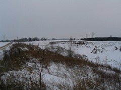
If these pictures seem dark, it's because it's wintertime and overcast and this is what it's
like in Minnesota.
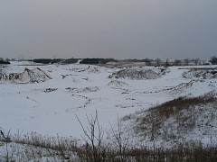
This is a view of the gravel pit. It is not being worked in the wintertime. There is a
berm between the gravel pit and the road. The right-most picture is taken from the
top of the Berm looking south. This berm has been here for perhaps 5 years judging on the
height of the saplings growing on it. Going north it descends into a small gully utilized
by wildlife.
 Berm destroyed mid-2007

|
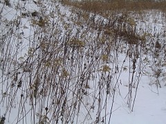
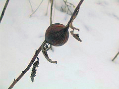
The vegetation in the winter is unspectacular. The swollen, ball-like protrusions on the
plant in the picture on the right are called "galls".
Galls are formed by the reaction of the stem of plants (goldenrod is one)
to the larvae of peacock flies. Larvae are laid in the stem in the summer.
The plant reacts to the invader by forming the gall. The larvae feed on the
plant and gain protection from cold temperatures and some predators. The
larvae hatch into flies in the spring and the cycle repeats.
|
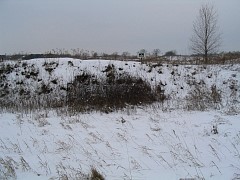
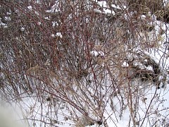
Also along the Berm. This in not considered heavy winter cover for wildlife.
|
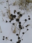
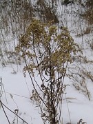
More plants.
|
|
|
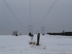
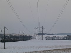
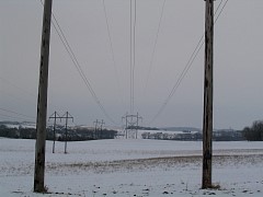
Two high voltage power lines run across the road between Two Oaks and East/West Farms.
Very artsy pictures ... The left-most picture was taken looking West, the other two
pictures were taken looking East. When there are ice crystals or fog you hear
them crackle and hum when you walk underneath.
The smaller line is 115 kilovolts, the physically larger line is 345 kilovolts.
|
|
|
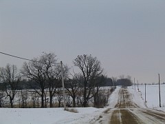
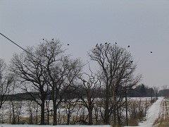
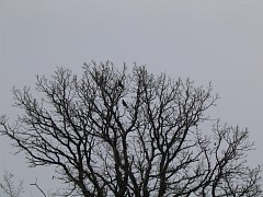
The winter wildlife along the road, like the vegetation, is also sparse. Crows, specifically a
this murder of crows, do not fly south but hang around all winter. As I approached them,
all but these few brave or seasoned individuals flew off.
These crows are sitting in Bluebird Treeline.
|
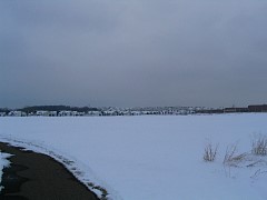
Here is what is termed a "snow sky". I am heading along the path that leads to my home when
I took this picture.
|
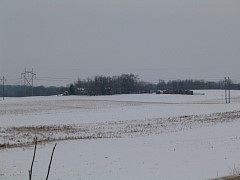
The East Farm. The hobby farmer parks many loaded hay racks and wagons out along the
road. He still keeps perhaps 6 head of cattle, and the crops he raises go to feed them.
Sometimes I walk the road very late at night. The summer before,
one dark midnight his cattle suddenly ran across the road in front of me.
They had gotten loose and were roaming around.
I didn't know what was crossing the road about 20 yards in front of me and was really freaked out.
|
|
|
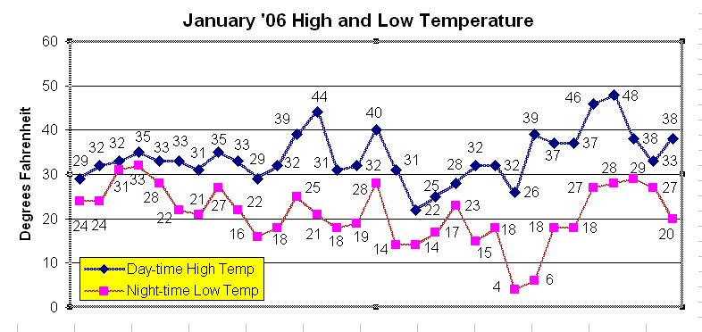
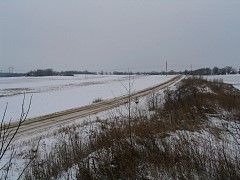
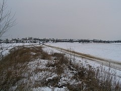
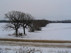
I climbed up The Berm opposite Two Oaks and took these pictures. January 2006 has been
record setting for warm temperatures - check out the temperatures in the chart above.
A record high of was 48 degrees was even reached January 28. As a result, my walks
have been most pleasant.
|
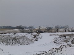
Looking across the Gravel Pit you can see some gravel pit-essential machinery lying dormant.
Beyond in the distance is the indoor bubble, maintained by the city along with the outdoor
ball fields and indoor hockey rinks.
|
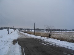
Here I have reached the southern end of Mile Drive and am making the turnaround. Up ahead
on the right is Bluebird Treeline.
|