|
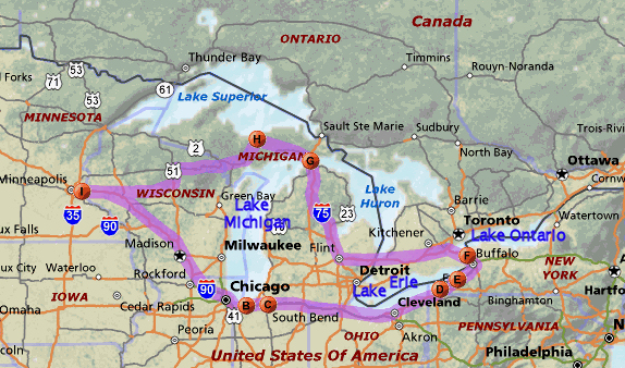
Friday August 3, 2007.
G - Mackinac Island.
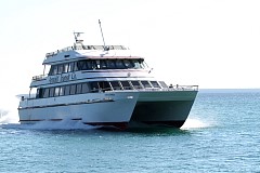
Here is the picture of the boat we took from Mackinaw City to Mackinac Island.
I recommend the Arnold line.
|
|
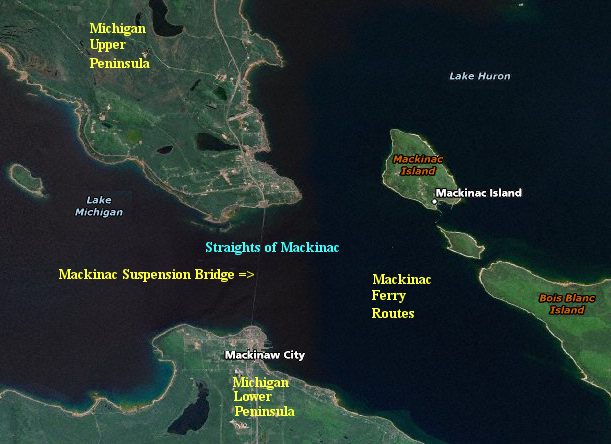
Here's a map showing the upper and lower peninsulas, the Mackinac Bridge,
Mackinac Island, and the Great Lakes.
Today passenger-only ferries carry people to Mackinac Island. Mackinac Island does not
permit cars or other motorized vehicles. Before icebreakers and year-round shipping
on the Lower Great
Lakes, the Straits would freeze over in winter.
The Straits were an important Native American and fur trade route. The eastern end of the Straits was controlled by Fort Mackinac on Mackinac Island, a British colonial and early American military base and fur trade center, founded in 1781.
|
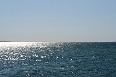
Sunlight on the Straits of Mackinac.
|
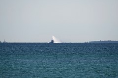
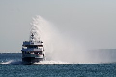
Approaching in the distance is the Star Line's Mackinac Island Hydro-Jet Ferry. Off to the
left on the picture on the left is the Round Island Passage Light (built 1948, automated 1973)
near Mackinac Island. This navigation aide is also known as Mackinac Island light.
|
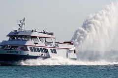
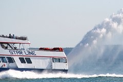
Note the distinctive 35 foot high rooster tail spray created from the jet propulsion.
Our Arnold line boat caught up to and passed a Star Line hydro-jet on the way back.
|
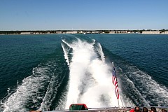
The view off the back of the boat back toward Mackinaw City.
|
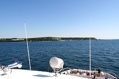
We are approaching Mackinac Island. If you enlarge this picture off to the left you will spot the Grand Hotel, which
first opened in 1887 and has been expanded several times.
The Grand Hotel on Mackinac Island boasts what is said to be the world's longest front porch.
|
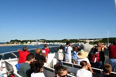
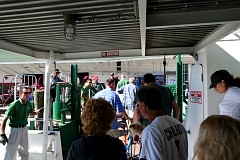
We pull into the harbor and leave the boat.
|
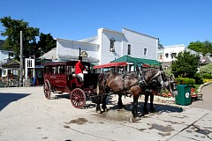
Motor vehicles were restricted at the end of the 19th century because of concerns for the health and safety of the island's residents and horses after local carriage drivers complained. The ban was not seriously enforced until the 1930's. The ban continues to the present with exceptions only for emergency and construction vehicles.
|
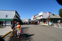
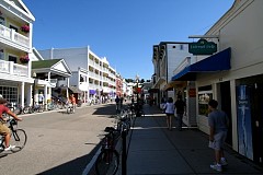
Your choices for getting around are (1) walking (2) horse-drawn taxi or (3) bicycle.
|
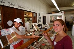
Fudge is the crack cocaine of this tourist destination. Good news - free samples!
|
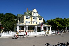
Digital photography has it's limits - I needed to have been alert to preserving this
picture at a very high resolution, perhaps even the dreaded "raw" format. As it is,
the lines from the house siding create what is an irritating effect. I include this
photo just because I don't have that many shots on the island.
|
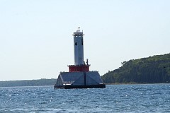
Mackinac Island light.
|
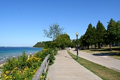
We took a short walk along the boardwalk.
|
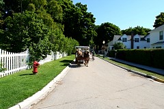
A residential area off the boardwalk.
|
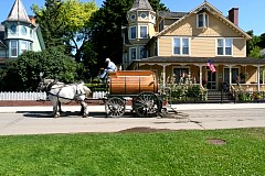
My big memory of Mackinac Island:
the street-cleaner's wagon with a very, very bored worker aboard. Picking up boatloads
of horse shit - hey, isn't that exciting?
|
A tough shot with the huge contrast between shadow and sunlight.
|