|
|
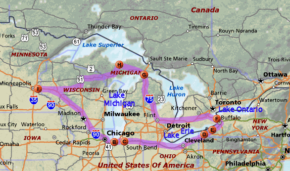
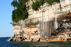
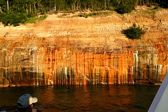
We are still outbound, but on the way back our boat went very close to the cliffs.
This leads me to believe
the sheer cliff faces continue underwater. The black color is manganese oxide.
|
|
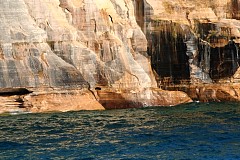
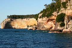
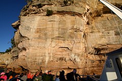
The focus of this shot is on the water, not on the cliff as I intended. I was trying
to capture the unusual erosion of the cliff caused by the surf.
|
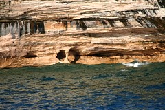
Here is the torquoise color I remember. Looks like it's the dry version of the darker
green copper oxide.
|
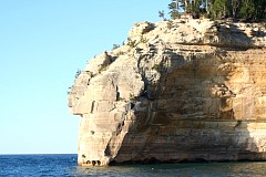
Another cliff point to round ...
|
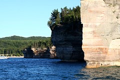
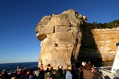
This shows some cliff collapse, and at the far left Indian Head Rock.
|
This is Indian head rock at Indian Head Point - can you see the Indian?
|
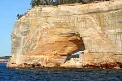
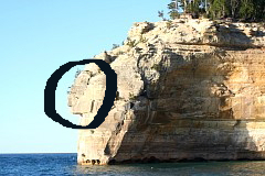
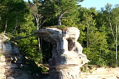
Some rock collapse has occurred in this arch - I think this was Grand Portal.
|
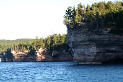
These rocks are called Battleship Row. They are so-named because they look like
many ships moored together with the sterns sticking out.
|
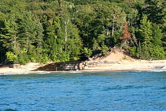
Chapel River runs out to Lake Superior. You can see a hiker's footbridge over the creek.
|
The Chapel area was named by early European explorers and is found on early maps as La Chappelle.
Chapel Rock is a remnant of Cambrian age sandstone. The archway between the rock and the mainland collapsed in the 1940's, and other collapses leave the site less chapel-looking than when
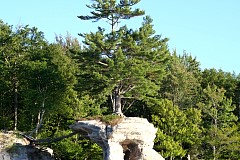
it was named. Check out the tree roots crossing to tree sticking out of Chapel Rock.
|
|
|
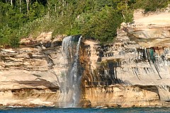
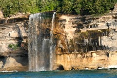
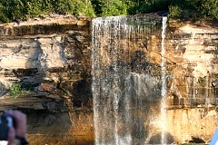
About two and a half miles due east of Grand Portal Point Spray Falls drops over the cliffs into Lake Superior.
|
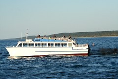
The lead boat of our group of three has turned back for home.
|
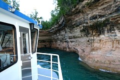
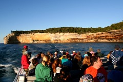
Our boat went out last. While the other two boats headed for home, our captain
proceeded to give us what amounted to the Painted Rocks thrill ride. He went
breathtakingly close to the rocks. Here he actually pulled the boat into what
looks like a rock boat slip - so close that one of the deckhands could touch the rock!
|
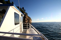
With the sun setting over the lake, we skirt another cliff and head for Indian Head Rock.
|
|
|
Indian Head Rock towers over us as the tour boat shaves amazingly close to the cliff.
|
Sunset makes the Painted Rocks glow - this tour was definately worth doing.
|
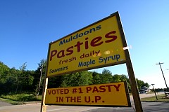
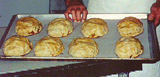
I saw so many signs for pasties I had to stop and ask what they were.
Pronounced pass-tee, they
were introduced in the United States in the 1800's by Cornish miners.
The pasty is a sort of portable beef stew folded into a purse of pie dough and baked to a rich golden brown. A pasty is eaten end to end, held upright to keep the juices in.
|
Saturday August 4, 2007
I - St. Paul.
The next day we drove west along Lake Superior then cut southwest through Wisconsin to
reach home. Seen this way, Wisconsin is scenic, which makes up for there being no Interstate
highway.
|