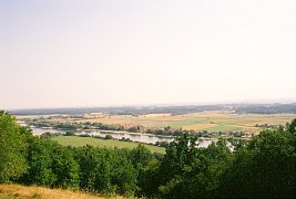
 This picture was taken during the record heat wave the summer of 2003.
You can see a distinct haze in the background.
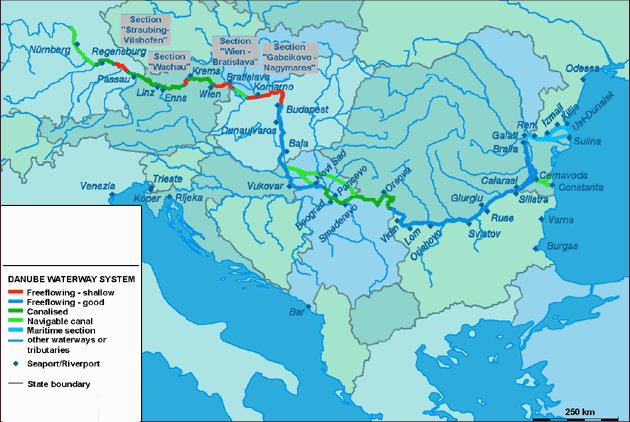
The Danube is the most important river running into the Black
Sea. It is the second largest European river and flows over
2,857 kilometres from its source in the Black Forest of Germany
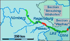
to the Black Sea. On the smaller map (below, left) we are just at the
left-most part where the the
larger left-most red line starts.
There is a critical 69 km bottleneck for commercial river traffic between
Straubing and
Vilshofen.
If the navigatble portion of the river falls below 2 meters then
traffic has to halt. In 1996, for example, this occurred a total of 94 days.
|
|

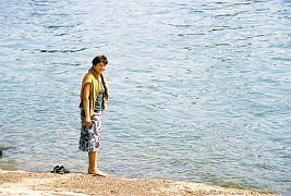 Here both my companions are captured wading in the Danube.
|
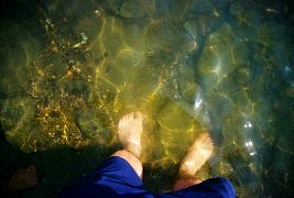 Your host's feet - the bottom is very rocky.
|
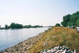 You notice a flood dike built right along the river. Looks like they
are blessed with both low and high water problems. There were several
small pleasure boats out on the river. This was a Sunday afternoon.
|
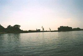 Here is the distance you can see giant cranes for unloading barges. We live on the
Mississippi in the Twin Cities and are used to seeing lots of barge traffic. The
water level may be too low right now to allow it.
|


